- List
- Map
| 864 Results |
-
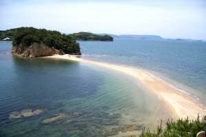
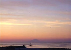
Angel Road
[Famous/Historical Spots,Nature & Scenery] There are four small islands off of Ginpaura in Tonosho. During ebb tide; these four small islands are connected by a sand road. This natural mysterious phenomenon appears twice a day.
 -
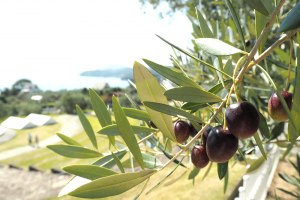
Shodoshima Olive Park
[Nature & Scenery]
-
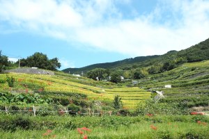
Senmaida-Nakayama Terraced
[Famous/Historical Spots,Nature & Scenery]
Senmaida is located in Nakayama, where the locals call it Satoyama. These terraced rice paddies were built about 700 years ago by piling up small rocks like stairs. -
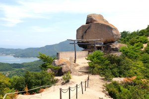
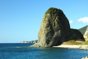
kasaneiwa
[Famous/Historical Spots,Nature & Scenery]
-
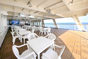
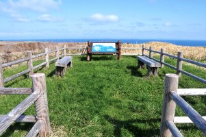
open deck
[Nature & Scenery]
-
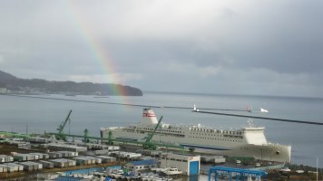
lavender with rainbow
[Nature & Scenery]
-
Sand iron collection place
[Nature & Scenery]
-
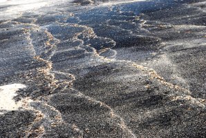
Sand iron collection place
[Nature & Scenery]
-
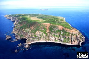
Aerial photography of Yagishiri Island
[Nature & Scenery]
-
TAKANOSU-ENCHI
[Nature & Scenery]
TAKANOSU-ENCHI is located south west of island. From here you would see 360-degree view. -
Onko-no-Sho Japanese yew trees
[Nature & Scenery]
A ”crawling forest" that withstands strong winds and heavy snowfall. Japanese yew trees with branches 10m long. -
Looking at Windmill of the opposite shore from Yagisiri Island
[Nature & Scenery]
-
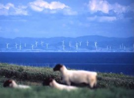
Sheep farm
[Nature & Scenery]
-
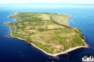
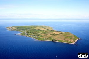
Aerial photography of Yagishiri Island
[Nature & Scenery]
-
Ezo is Former name of Hokkaido
[Nature & Scenery]
-
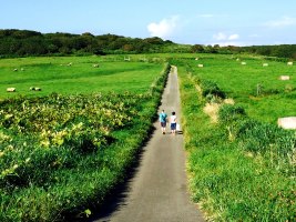
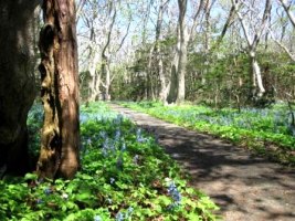
Hibarigaoka Park
[Nature & Scenery]
This park is the perfect size for forest walks, birdwatching and admiring the wildflowers. -
Looking at Mt. Rishirifuji from Teuri Island
[Nature & Scenery]
-
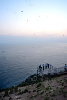
A-KA-I-WA Signt seeing tower
[Nature & Scenery]
A Viewpoint with an up-close view of Akaiwa Rock and rhinoceros auklet nests all around. -
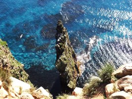
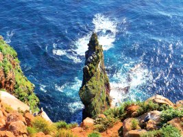
Teuri Island(Red rock)
[Nature & Scenery]
A-KA-I-WA is standing vertically up to 38m from sea level. It looks so dynamic. Surface of A-KA-I-WA is breeding grounds of U-TO-U and UMI-NEKO (black trailed gulls) -
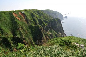
Cape Kannon Viewpoint
[Nature & Scenery]
See a panoramic view of a cliff over 100m. The cape was once the largest breeding ground for black-tailed gulls, and is still home to many seabirds. -
Aerial photography of Teuri Island
[Nature & Scenery]
-
Teuri Island(Red rock)
[Nature & Scenery]
A-KA-I-WA is standing vertically up to 38m from sea level. It looks so dynamic. Surface of A-KA-I-WA is breeding grounds of U-TO-U and UMI-NEKO (black trailed gulls) -
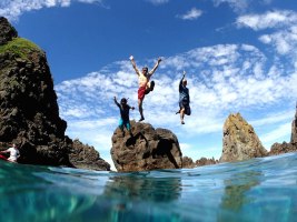
Swimming
[Sports & Outdoor Activities,Nature & Scenery]
The Okushiri ocean boasts a transparency of 25m. There are a variety of ways to enjoy apart from sea bathing. -
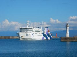
The Okushiri Route Ferry “Karanse Okushiri”
[Nature & Scenery,Others]
The “Karanse Okushiri” that connects Okushiri Island and Mainland Hokkaido has been in service since 2017. -
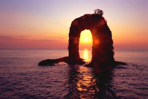
Evening view of Nabetsuru Rock
[Nature & Scenery]
The symbol of Okushiri Island. -
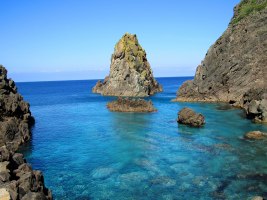
The beautiful sea with its characteristic “Okushiri Blue” color
[Nature & Scenery,Hot Springs]
“Okushiri Blue” refers to the distinctive deep blue color of the ocean surrounding Okushiri Island. The photo was taken near the opening of the Kamui Tunnel located in the West side of the island. -
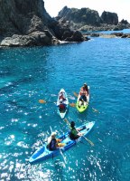
Sea kayaking
[Sports & Outdoor Activities,Nature & Scenery]
The Okushiri ocean boasts a transparency of 25m. There are a variety of ways to enjoy apart from sea bathing. -
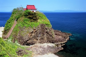
Miyatsu Benten Shrine, Okushiri Island
[Nature & Scenery]
The “God of Good Fortune” is enshrined here. An impressive look, perfect for photographs. -
Hoya Rock
[Nature & Scenery]
A series of strange rock formations located on the west coast of the island. Carved by nature over a long period of time, these amazing shapes are sure to fascinate you. -
Kantan port
[Nature & Scenery]