- List
- Map
| 864 Results |
-

Tamonzan"Ikan"
[Famous/Historical Spots,Nature & Scenery]
From the cliff of Yogasaki, the northern point of Shichigahama-machi, you can view the waves from the Pacific hit the cliff and burst, and the great view of it made it become called "Ikan".
-
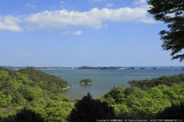

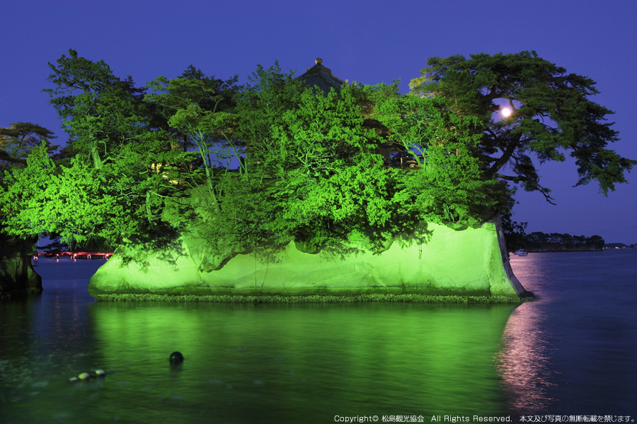
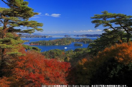
Ogitani "Yukan"
[Famous/Historical Spots,Nature & Scenery]
Because inlet of Matsushima-Wan floats like Ougi from the mountaintop in a certain highland behind sokansan and is seen, it is called Oogiya.
-

Saigyo Modoshi no Matsu Park
[Famous/Historical Spots,Nature & Scenery,Fall Foliage]
-

-
-

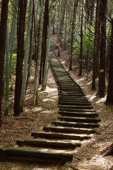
SUGINAMIKI (Ancient Cedar Avenue)
[Famous/Historical Spots,Nature & Scenery]
-
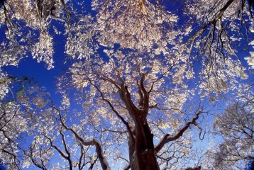
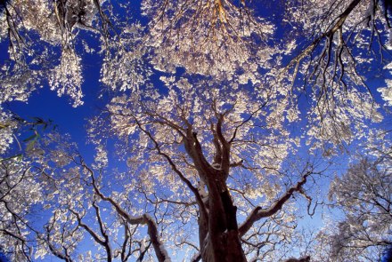
Woods in Winter
[Famous/Historical Spots,Nature & Scenery,Cherry Blossoms]
-

-
-
-
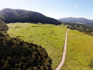
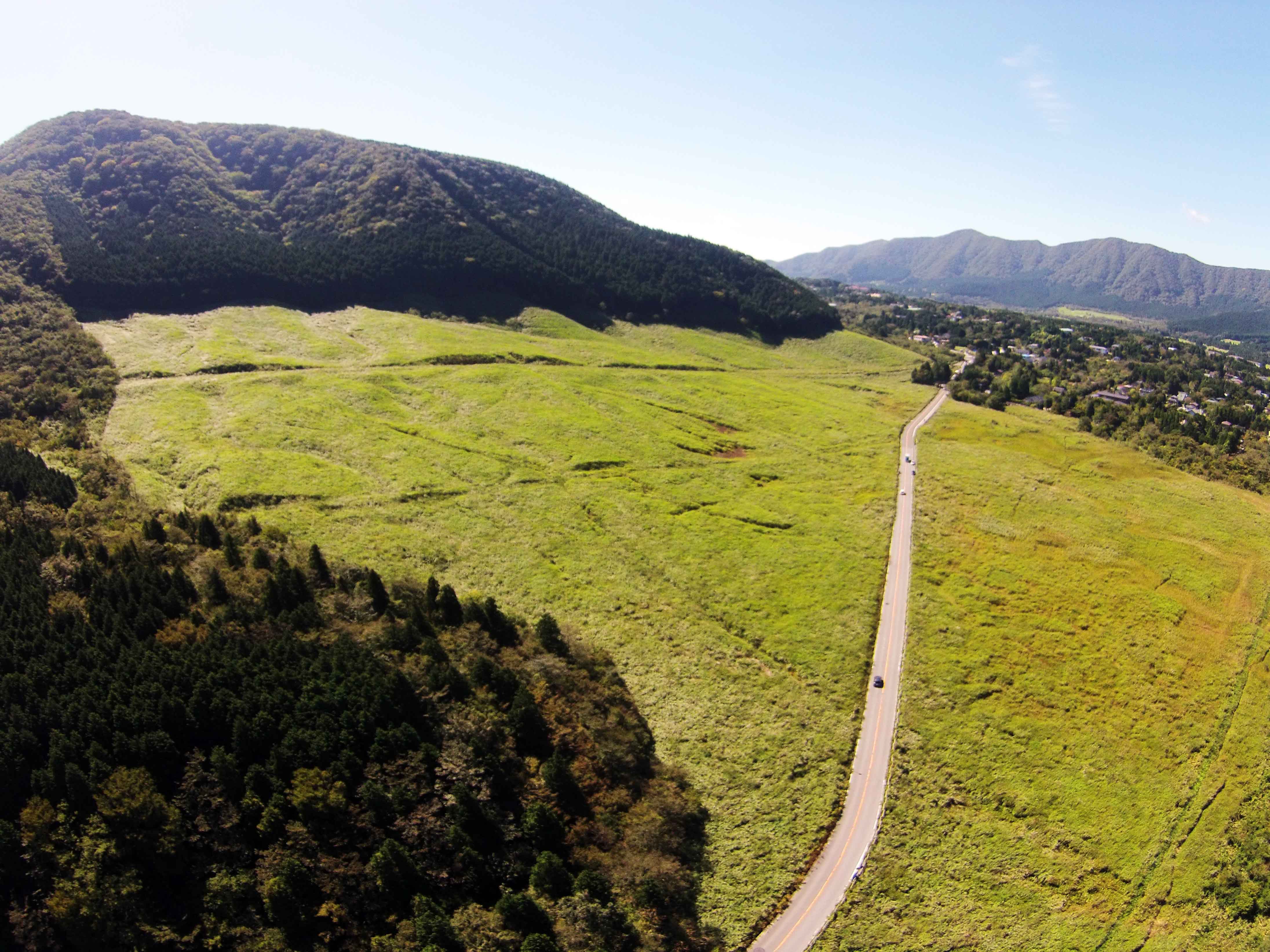
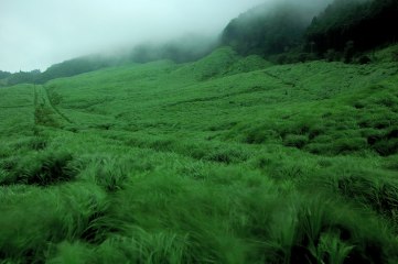
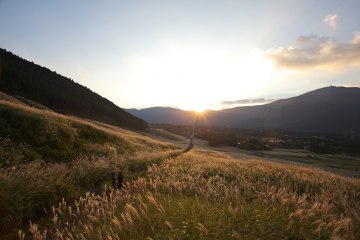
Pampass grass field in Summer
[Famous/Historical Spots,Nature & Scenery]
-

-

-

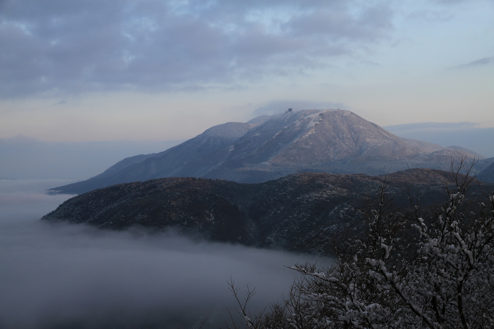
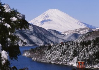
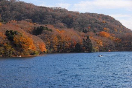
Mt. KOMAGATAKE
[Famous/Historical Spots,Nature & Scenery]
photo by HAKONE ZENZAN
-

-
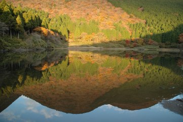

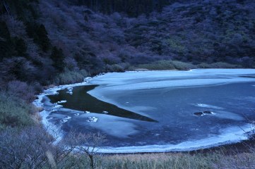
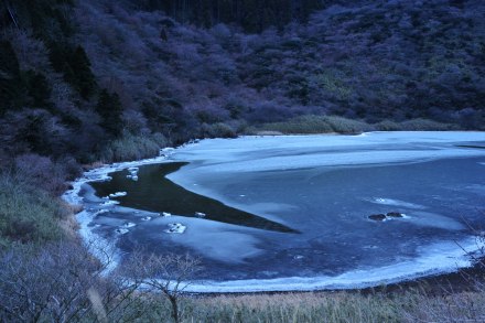
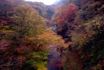
Pond OTAMA / leaves changing colour
[Famous/Historical Spots,Nature & Scenery,Fall Foliage]
-
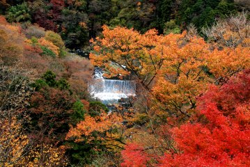

MIYANOSHITA in Autumn
[Famous/Historical Spots,Nature & Scenery,Fall Foliage]
-
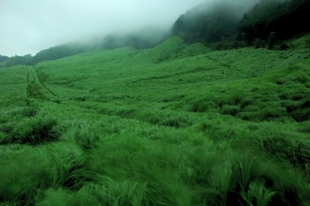
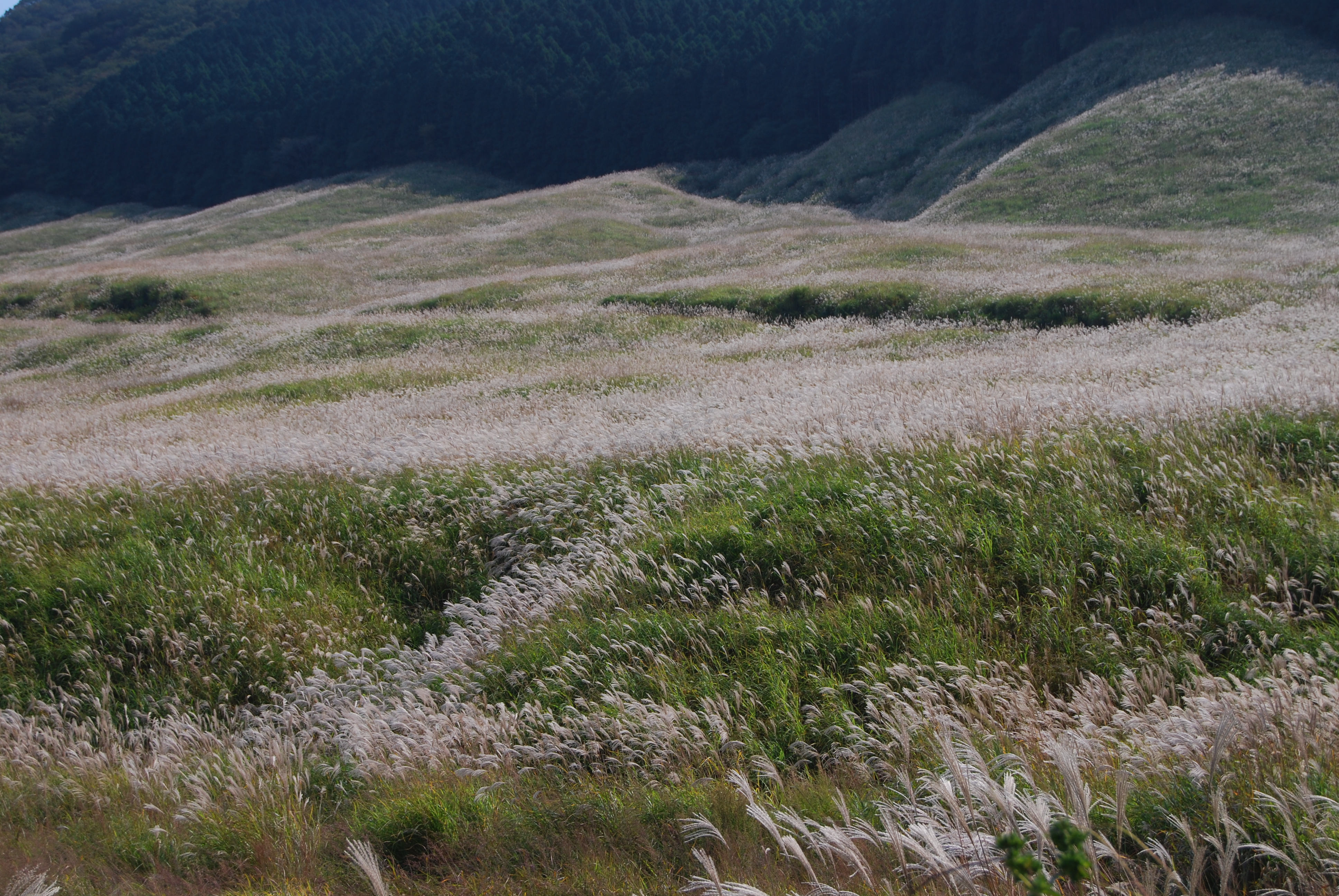
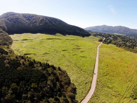
Pampass grass field in Summer
[Famous/Historical Spots,Nature & Scenery]
-
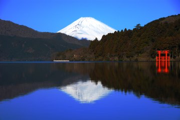

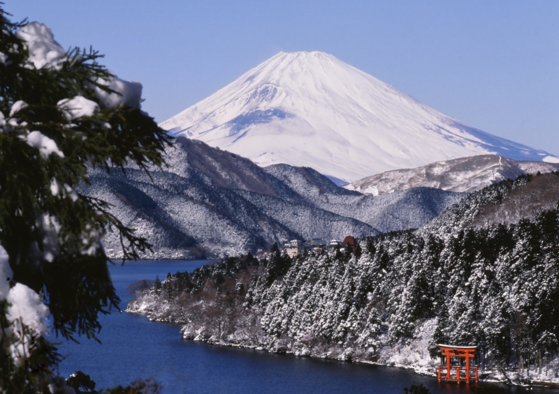
Mt. FUJI
[Famous/Historical Spots,World Heritage Sites,Nature & Scenery]
-

-

-


-

KOZUKA in Autumn
[Famous/Historical Spots,Nature & Scenery,Fall Foliage]
-

-

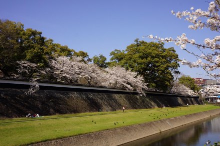
Nagabei Path
[Famous/Historical Spots,Nature & Scenery]
The Nagabei wall (242m long) lying on the opposite side of the river makes for beautiful scenery while strolling down the path, and is the longest of the Kumamoto Castle walls.


-

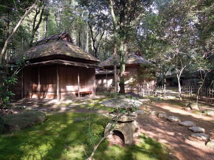
Tatsuda Nature Park(Tea room)
[Famous/Historical Spots,Nature & Scenery]
Tatsuda Nature Park, located on Mt. Tatsuda, is actually the site of the Taisho-ji temple ruins, the family temple of the Hosokawa clan who ruled over the Higo Domain.

-

-
-

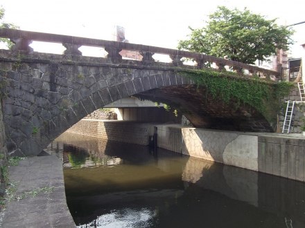
Meihachi Bridge
[Famous/Historical Spots,Nature & Scenery]
The Meihachi Bridge was built by famed Meiji-era mason Hashimoto Kangoro, who also built the famous Tsujun and Reitai Bridges in Kumamoto.
-
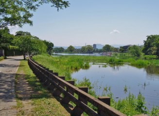

Lake Ezu
[Famous/Historical Spots,Sports & Outdoor Activities,Nature & Scenery]
Lake Ezu is actually made up of two smaller lakes, Kami-Ezu and Shimo-Ezu, that combine to a length of 2.5 kilometers, a perimeter of 6 kilometers.
| 864 Results |